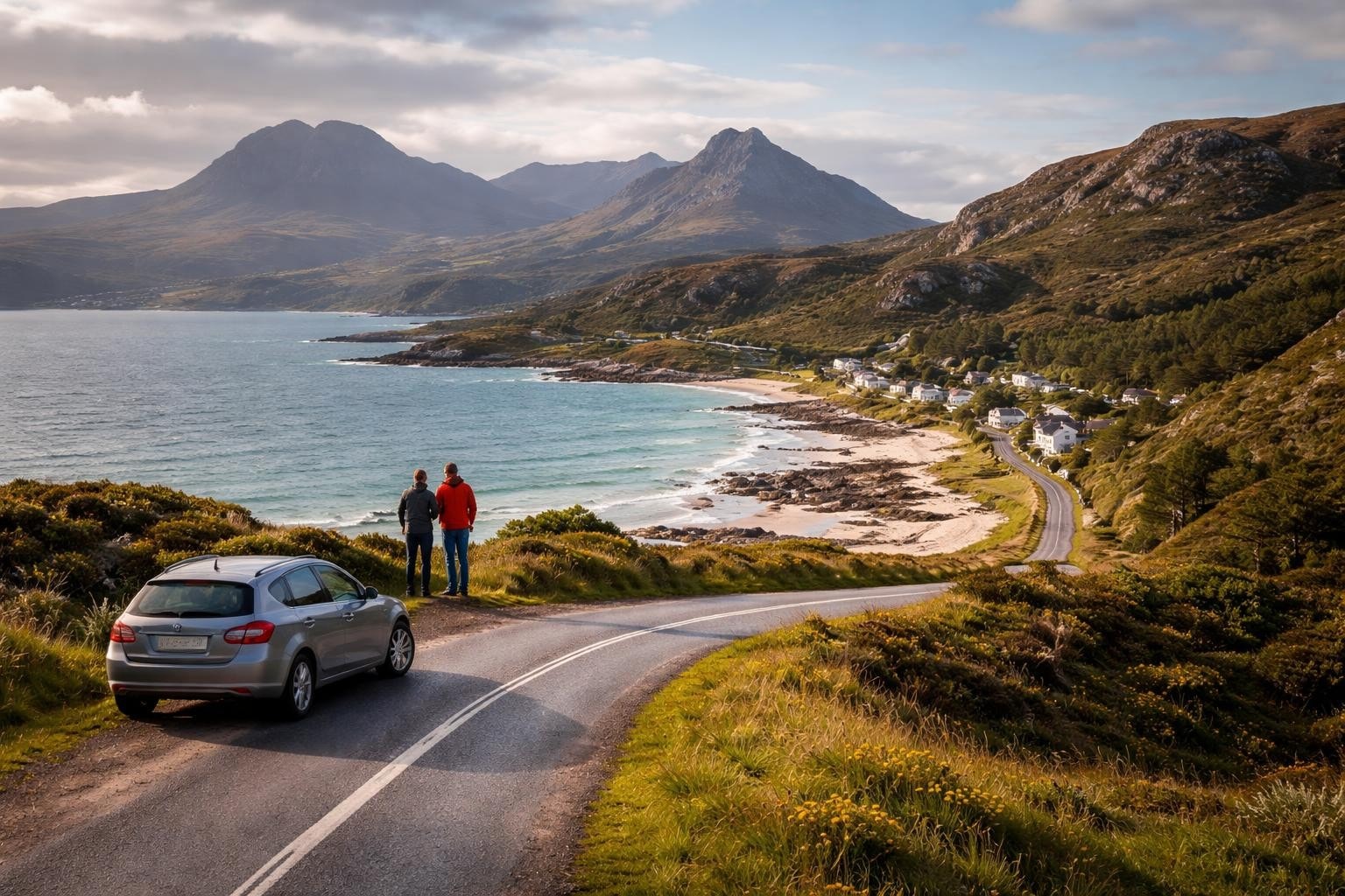
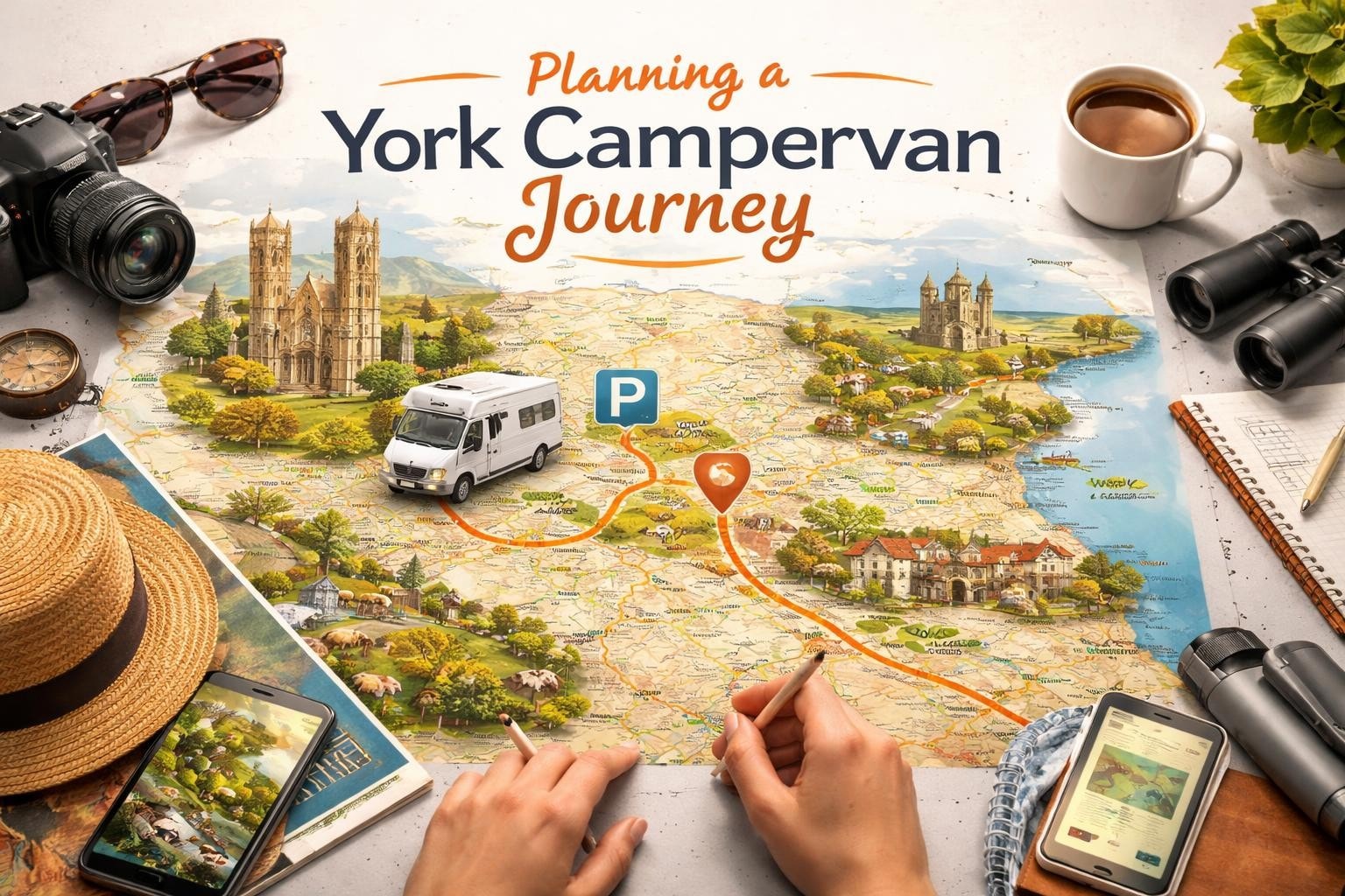
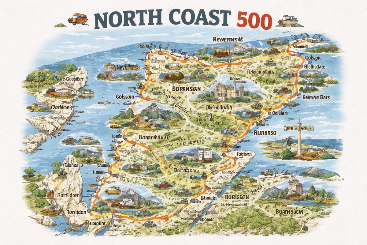
Planning a motorhome adventure around Scotland's legendary North Coast 500 requires proper preparation, and having the right nc500 map is your foundation for success. This iconic 516-mile circular route through the Scottish Highlands takes you past dramatic coastal scenery, ancient castles, white-sand beaches, and remote villages that capture the true spirit of Scotland. Whether you're embarking from Leeds in your hired campervan or starting from elsewhere in the UK, understanding how to use mapping resources effectively will transform your journey from good to unforgettable.
The North Coast 500 begins and ends in Inverness, creating a complete loop around the northernmost reaches of mainland Scotland. The route takes its name from the approximate mileage, though the actual distance varies depending on detours and exploration stops you choose to make along the way.
When examining an nc500 map, you'll notice the route divides naturally into distinct coastal experiences:
Each section presents unique driving conditions,景观 characteristics, and practical considerations for motorhome travelers. The east coast offers gentler terrain and more services, while the west coast challenges you with single-track roads and spectacular isolation.
Understanding these divisions helps when planning your daily stages. Most travelers complete the circuit in five to seven days, though many extend their adventure to two weeks for a more relaxed pace.
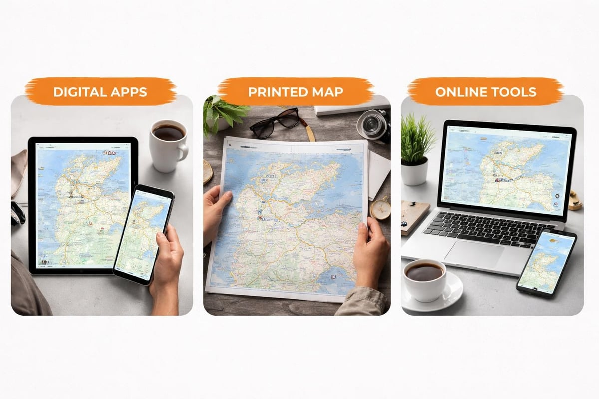
Multiple mapping options exist for planning and navigating the North Coast 500, each offering distinct advantages depending on your travel style and requirements.
The official North Coast 500 road map provides a comprehensive foldable guide specifically designed for this route. This physical map includes tourist attractions, driving information, and alternative routes that digital tools sometimes overlook. Having a physical backup proves invaluable in areas where mobile signal becomes unreliable.
For those who prefer digital previewing before purchasing, the NC500 official PDF map offers a detailed visual representation you can view on tablets or print at home.
Modern travelers benefit from several interactive mapping platforms that allow route customization and real-time adjustments:
| Map Type | Best For | Key Features | Signal Required |
|---|---|---|---|
| Official Printed | Backup navigation | Detailed annotations, waterproof options | None |
| GPS Apps | Turn-by-turn guidance | Real-time traffic, offline downloads | Minimal |
| Interactive Web Maps | Planning phase | Customizable routes, sharing capability | Yes |
| PDF Downloads | Tablet reference | Detailed viewing, printable | None |
Interactive platforms like Scribble Maps NC500 enable you to explore the route digitally, marking your intended stops and calculating distances between locations. These tools prove particularly valuable during the planning phase when you're deciding how to pace your journey.
One crucial decision when consulting your nc500 map involves which direction to tackle the circuit. This choice significantly impacts your experience, particularly in a motorhome where passing opportunities and road width matter greatly.
Anticlockwise Route (Recommended for Motorhomes)
Clockwise Route
Most motorhome travelers find the anticlockwise direction more comfortable, heading north through the east coast before tackling the west's narrower sections after building experience with Highland driving conditions.
Your nc500 map takes on different significance depending on when you travel:
Spring (April-May 2026)
Summer (June-August 2026)
Autumn (September-October 2026)
When reviewing your nc500 map, certain locations deserve special attention for overnight stops, essential services, or unmissable experiences.
Your map should highlight these strategic stopping points:
The Torridon and Kinlochewe local place plan provides detailed insights into this particularly scenic area, helping you identify local amenities and points of interest.
Mark these essential experiences on your planning map:
Perhaps the most important skill your nc500 map helps you develop is understanding single-track road navigation. These characteristically Scottish routes require different driving approaches than standard two-lane roads.
Quality nc500 map resources indicate where single-track sections occur, though they rarely mark individual passing places. Understanding the system proves essential:
Passing Place Protocol
Motorhomes require more space than cars, so identify passing places early and position thoughtfully. Your larger vehicle should generally give way to smaller ones, particularly if they can more easily reverse to a previous passing place.
Your nc500 map may classify roads by type, but width varies considerably even within categories:
| Road Type | Width Expectation | Motorhome Suitability | Average Speed |
|---|---|---|---|
| A-roads | Generally two-lane | Excellent | 40-60 mph |
| B-roads | Mixed lane width | Good with care | 30-40 mph |
| Single-track | One vehicle width | Requires confidence | 20-30 mph |
| Unclassified | Often very narrow | Check vehicle specs | 15-25 mph |
The Bealach na Bà pass to Applecross, while spectacular, challenges even experienced motorhome drivers with its gradient, hairpins, and width. Your nc500 map should highlight this optional detour so you can make an informed decision based on your vehicle size and confidence level.
An often-overlooked aspect of nc500 map reading involves identifying essential service points for motorhome maintenance throughout your journey.
The western section between Durness and Ullapool contains the longest stretches without fuel stations, with distances exceeding 60 miles between some points. Plan fuel stops carefully:
Mark these locations on your nc500 map for essential motorhome services:
Wild camping remains possible in many areas under Scottish access rights, but responsible practices require planning for waste disposal. Your map should highlight the nearest facilities to your intended overnight spots.
Scotland's weather demands respect, and your nc500 map becomes a safety tool when combined with weather forecasting.
The NC500 traverses multiple weather zones, sometimes experiencing dramatically different conditions within hours of driving. The west coast receives significantly more rainfall than the east, while coastal areas often fare better than inland glens.
Weather-Responsive Route Adjustments
Having both detailed maps and real-time weather information allows you to adjust daily plans, perhaps swapping a mountain drive for a coastal alternative when conditions warrant.
When examining your nc500 map, note the distances between population centers. Mobile phone coverage proves patchy throughout the Highlands, and emergency services require longer response times in remote areas.
Build contingency time into your itinerary. What appears as a three-hour drive on paper often expands to five or six hours when accounting for:
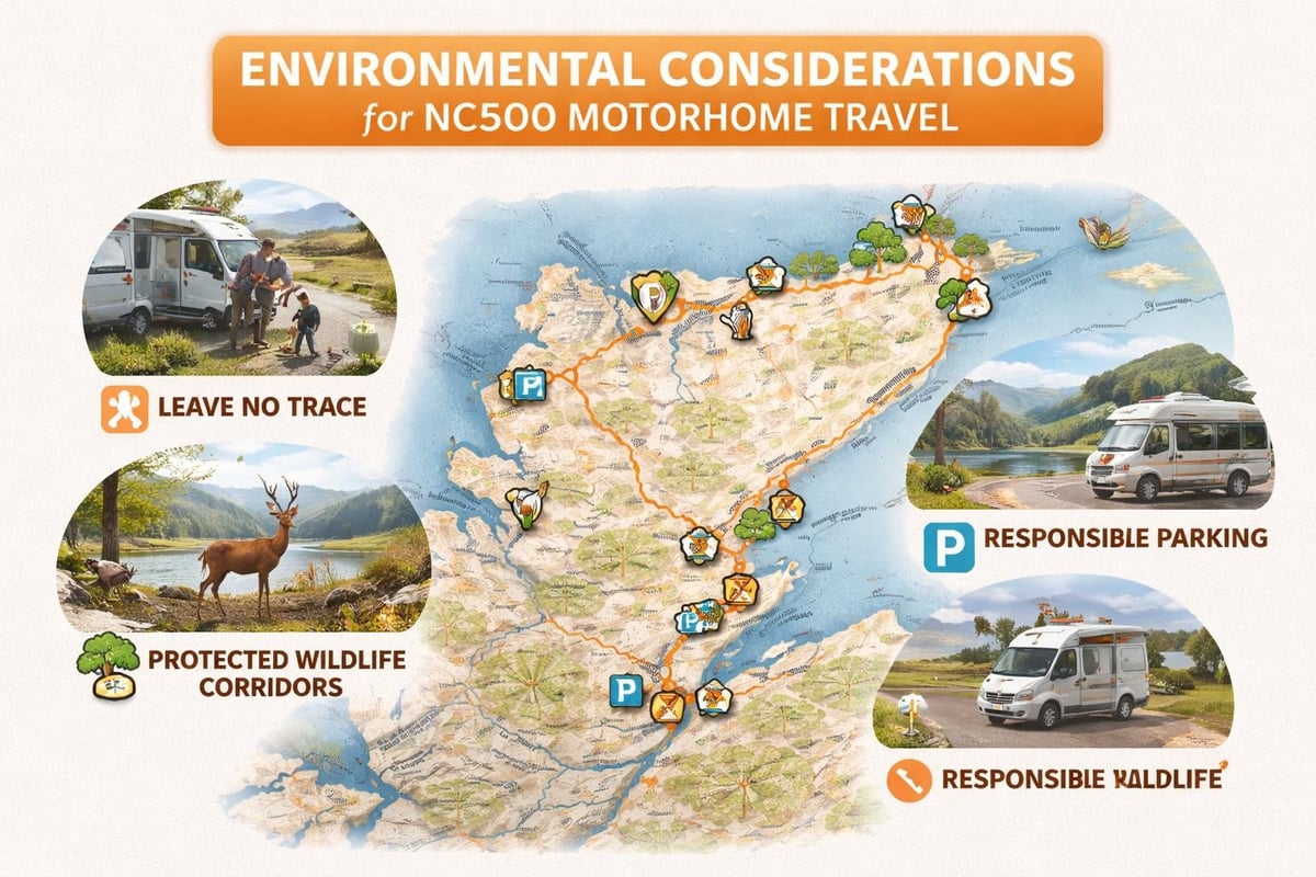
Modern nc500 map usage extends beyond simple navigation to include environmental responsibility, an increasingly important aspect of Highland travel.
The Buglife NC500 B-Line Report illustrates how the route intersects with important pollinator corridors and conservation areas. Understanding these connections helps you travel responsibly, respecting sensitive habitats while still enjoying Scotland's natural beauty.
Your journey planning should incorporate:
The increasing popularity of the NC500 has brought both economic benefits and environmental pressures to the Highlands. Responsible motorhome travelers help preserve this spectacular landscape for future generations.
Maps become outdated quickly as Highland infrastructure develops, making it valuable to cross-reference multiple sources during planning.
The Kyle of Sutherland tourism infrastructure project represents ongoing efforts to enhance visitor experiences while managing tourism impacts. These developments often include improved parking, information points, and facilities specifically designed for motorhome travelers.
Stay informed about:
While traditional paper maps offer reliability, integrating digital tools maximizes your nc500 map effectiveness throughout your journey.
Resources like MapHub’s NC500 collection provide collaborative maps where travelers share current conditions, recommendations, and updates. These platforms complement official maps with real-world insights from recent visitors.
Download comprehensive offline maps before departing, ensuring navigation capability during signal blackouts. Most GPS apps allow you to save specific regions, with the Scottish Highlands available as a single download covering the entire NC500 route.
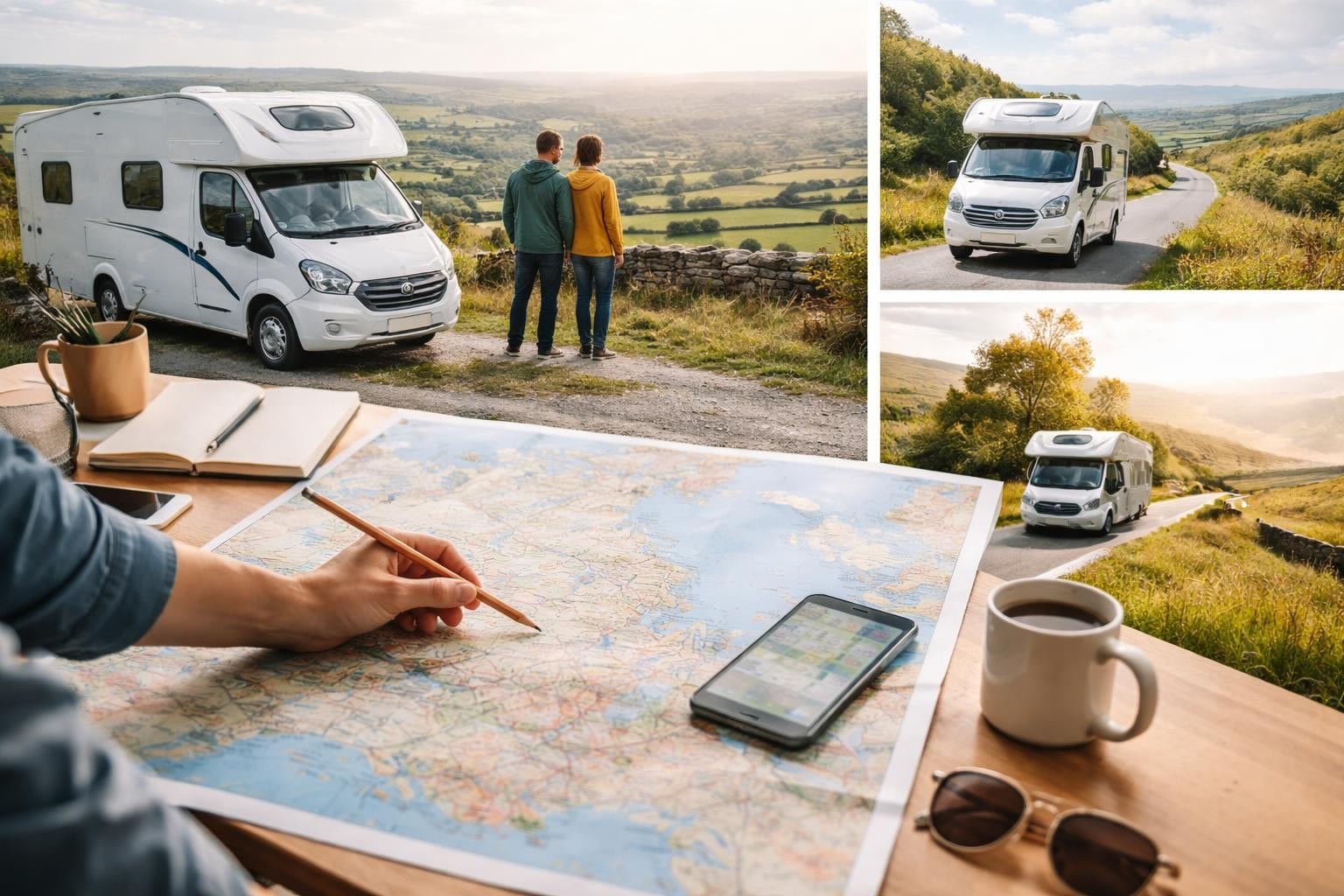
For travelers hiring motorhomes in Leeds and West Yorkshire, the journey to reach the NC500 starting point in Inverness forms an important preliminary adventure requiring its own planning.
From Leeds to Inverness spans approximately 400 miles, typically requiring seven to eight hours of driving without extended stops. Most travelers break this journey into manageable segments:
Recommended Overnight Stops En Route
Your nc500 map planning should account for these travel days, ensuring you arrive fresh and ready to begin the circuit rather than exhausted from marathon driving.
After completing the NC500, factor in recovery time before the return drive south. Many travelers spend an extra day in Inverness or the Cairngorms, processing their Highland adventure and resting before heading home.
Whether using digital or printed resources, extracting maximum value from your nc500 map requires active engagement throughout the planning and travel phases.
Study your map thoroughly before departure:
The best NC500 experiences often come from spontaneous discoveries, but flexibility requires a solid foundation of map knowledge. Understanding where you have options and where you're committed to a route allows confident improvisation.
Keep your map accessible in the motorhome cab, annotating it with discoveries and recommendations as you travel. These personal notes transform a standard map into a valuable keepsake and reference for future trips.
Successful NC500 navigation combines the reliability of traditional mapping with the convenience of modern technology, creating a robust system that works across all conditions.
Electronics fail, batteries die, and signals disappear. Maintain these backup approaches:
This redundancy ensures you're never truly lost, even when technology fails in the Highlands' more remote corners.
Planning your North Coast 500 adventure with the right mapping resources transforms this iconic route from daunting to achievable, ensuring you experience the Scottish Highlands safely and memorably. Whether you're examining detailed printed guides or interactive digital tools, thorough preparation makes all the difference. Ready to turn your NC500 dreams into reality? The Camper Co offers perfectly equipped motorhomes and campervans from their Leeds base, providing everything you need for an unforgettable Scottish Highlands adventure with the freedom to explore at your own pace.